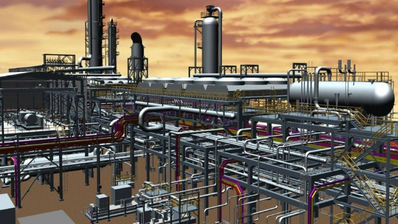
3D Laser Scanning
3D laser scanning captures precise spatial data using lasers to create detailed 3D models. It's ideal for construction, manufacturing, and preservation, offering quick, non-intrusive data collection and enhanced project accuracy.

Topographic Surveys
Topographic surveys map the elevation and contours of land, providing essential data for construction, land development, and environmental planning. They offer detailed insights into land features, aiding in design and decision-making.

Cadastral Surveys
Cadastral surveys establish property boundaries and land ownership, providing vital data for real estate transactions and land development. They ensure accurate legal descriptions and help resolve property disputes effectively.
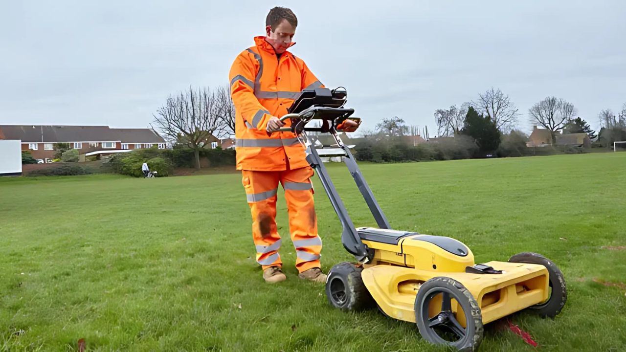
Underground Utility Surveys
Underground utility surveys identify and map the location of buried utilities, such as water, gas, and electricity. They prevent damage during construction, enhance safety, and ensure efficient project planning and execution.
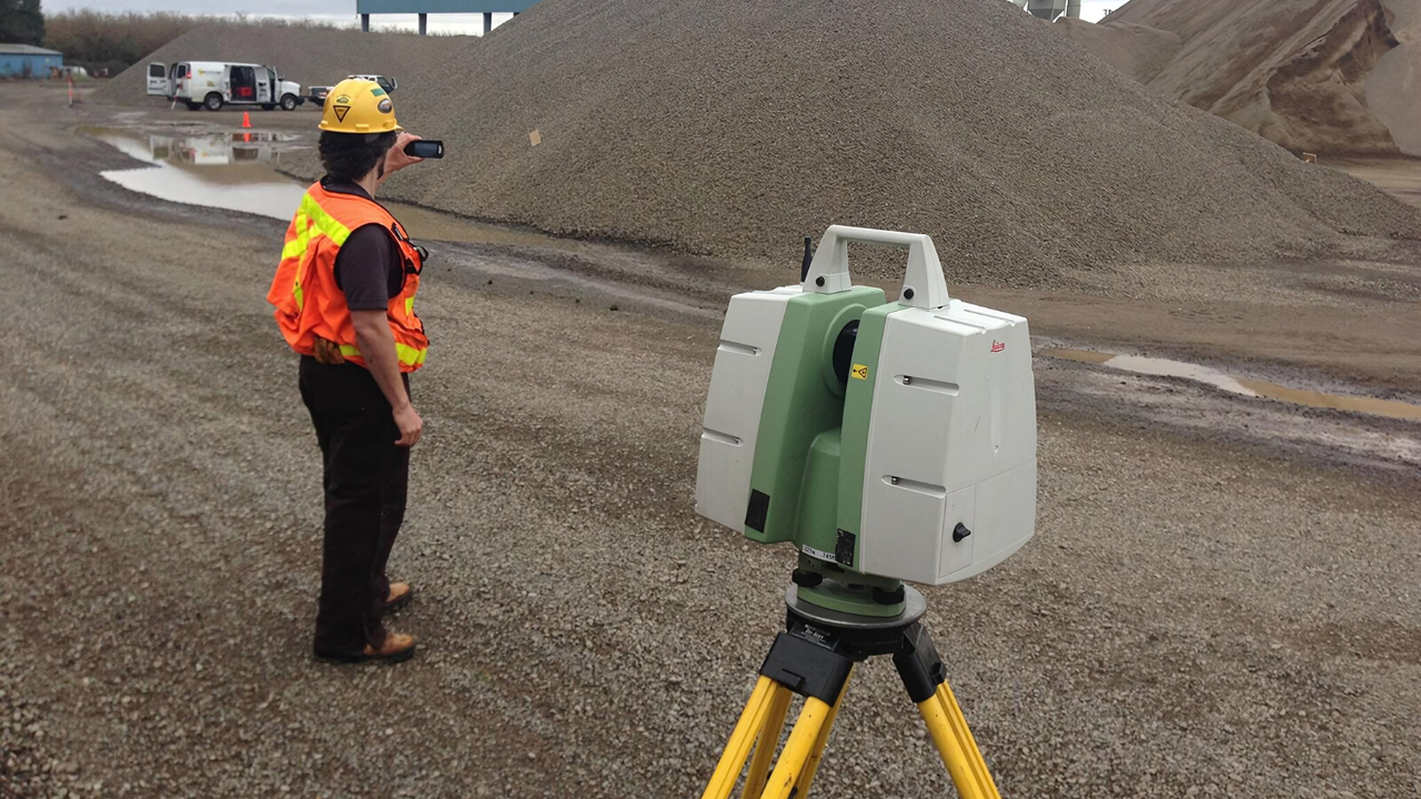
Volumetric Surveys
Volumetric surveys measure the volume of materials, such as earthworks or stockpiles, providing critical data for construction and mining projects. They ensure accurate material estimates and facilitate effective project management and planning.
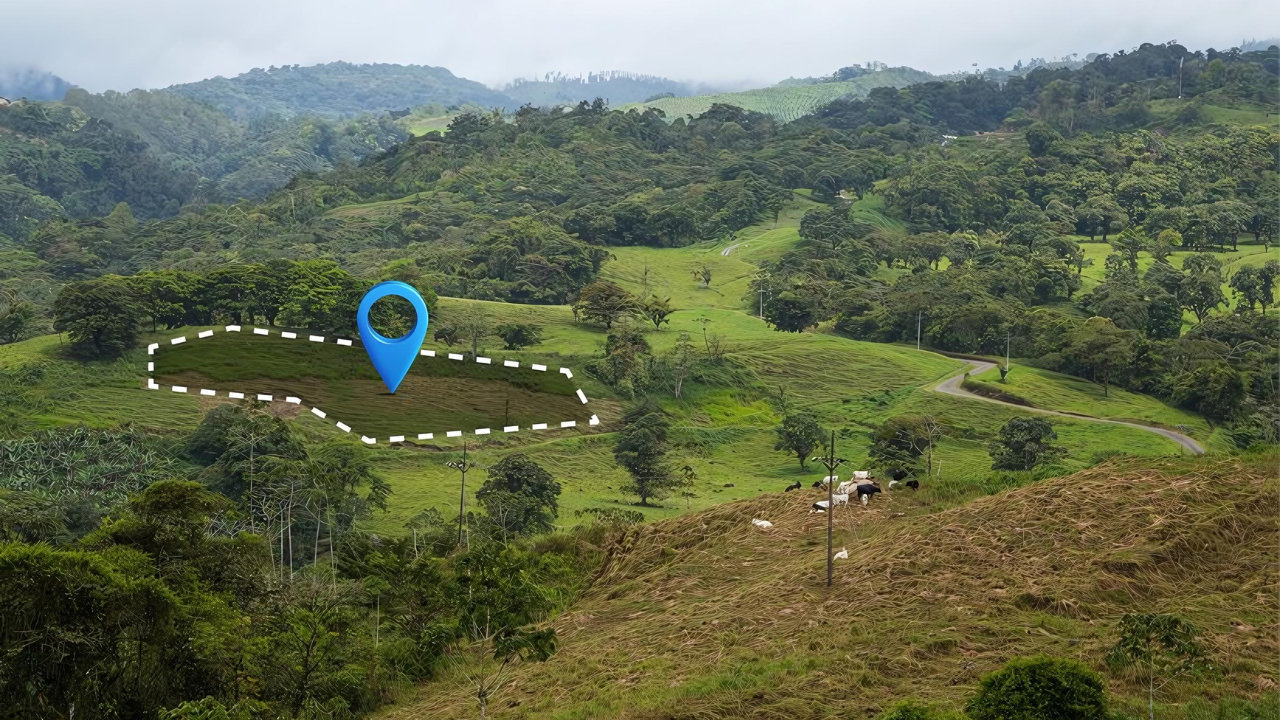
GPS/GIS Mapping
GPS/GIS mapping combines global positioning systems and geographic information systems to capture, analyze, and visualize spatial data. This technology enhances decision-making, resource management, and planning across various industries, including urban development and environmental monitoring.
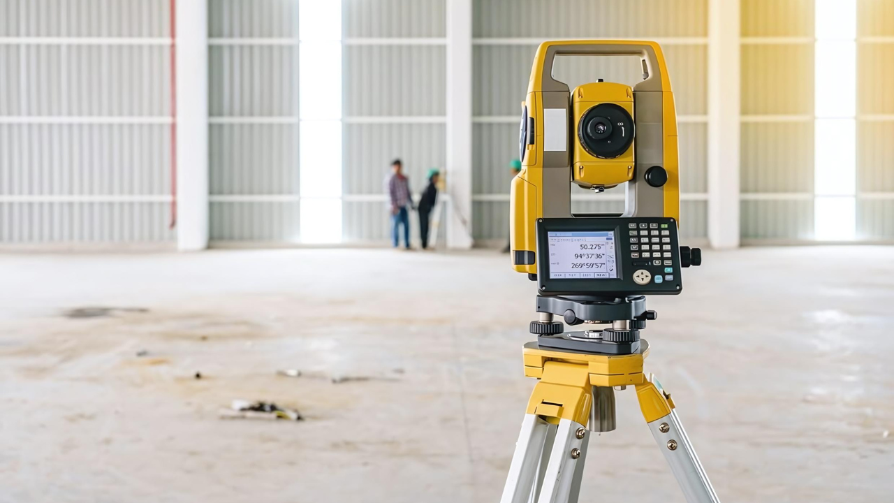
Survey equipment Rental services
Survey equipment rental services provide access to advanced tools like total stations, GPS systems, and laser levels for various surveying needs. They offer flexibility, cost savings, and support for projects without the need for purchasing expensive equipment.
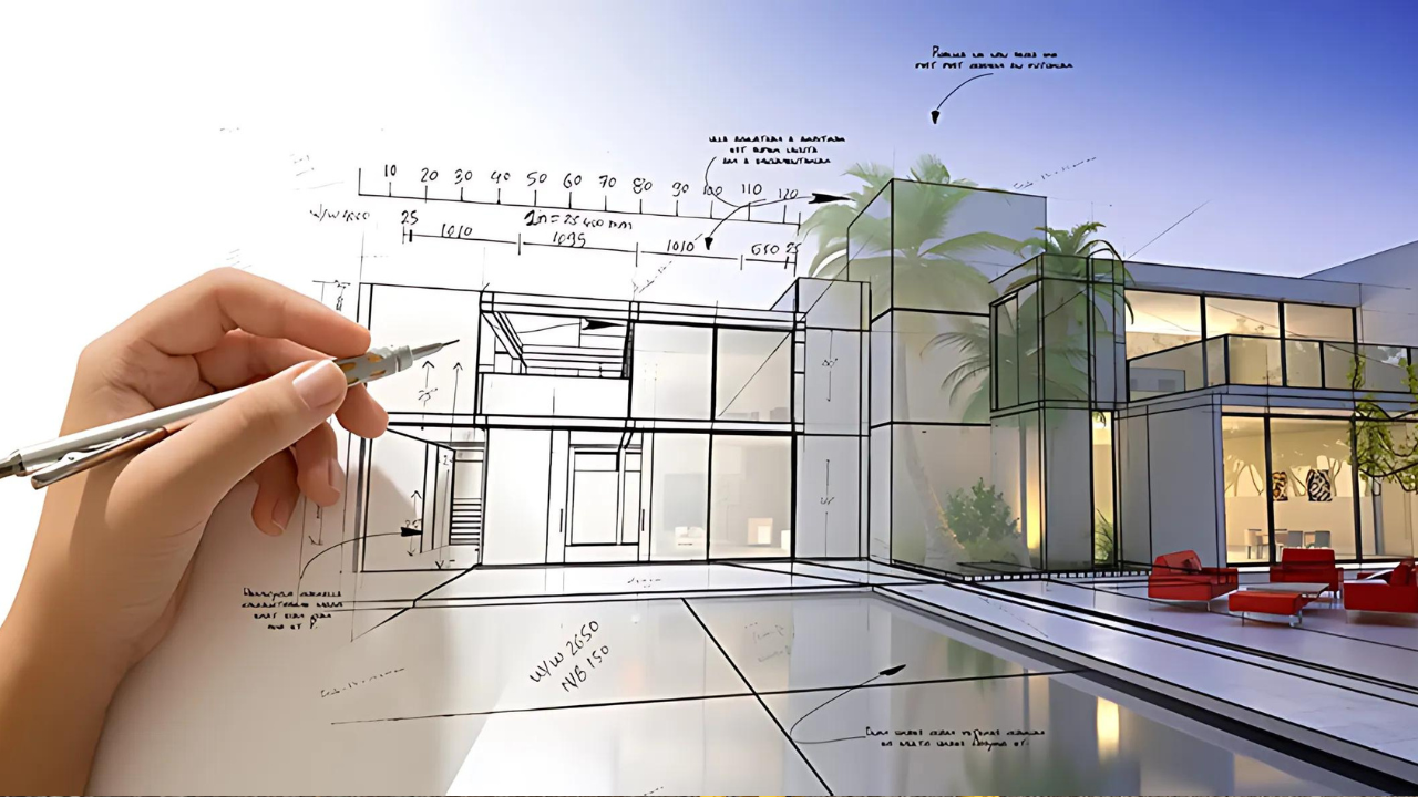
2D & 3D Drafting Services
2D and 3D drafting services provide precise technical drawings and detailed visualizations for various industries, including architecture, engineering, and manufacturing. These services enhance project communication, streamline design processes, and ensure accuracy.
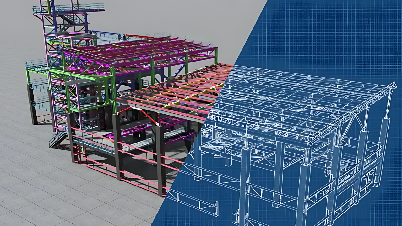
3D Modelling, Point Cloud, Mesh Conversion
3D modeling, point cloud processing, and mesh conversion services transform raw spatial data into detailed, accurate digital models. These services are essential for industries like architecture, engineering, and construction, enabling precise measurements, enhanced visualization, and improved project planning.
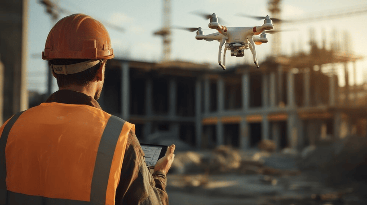
Drone surveys
Drone surveys leverage advanced aerial technology to capture detailed images, 3D models, and terrain data from hard-to-reach areas. They enhance project efficiency, reduce manpower, and provide real-time insights for industries like construction, agriculture, and infrastructure planning.

