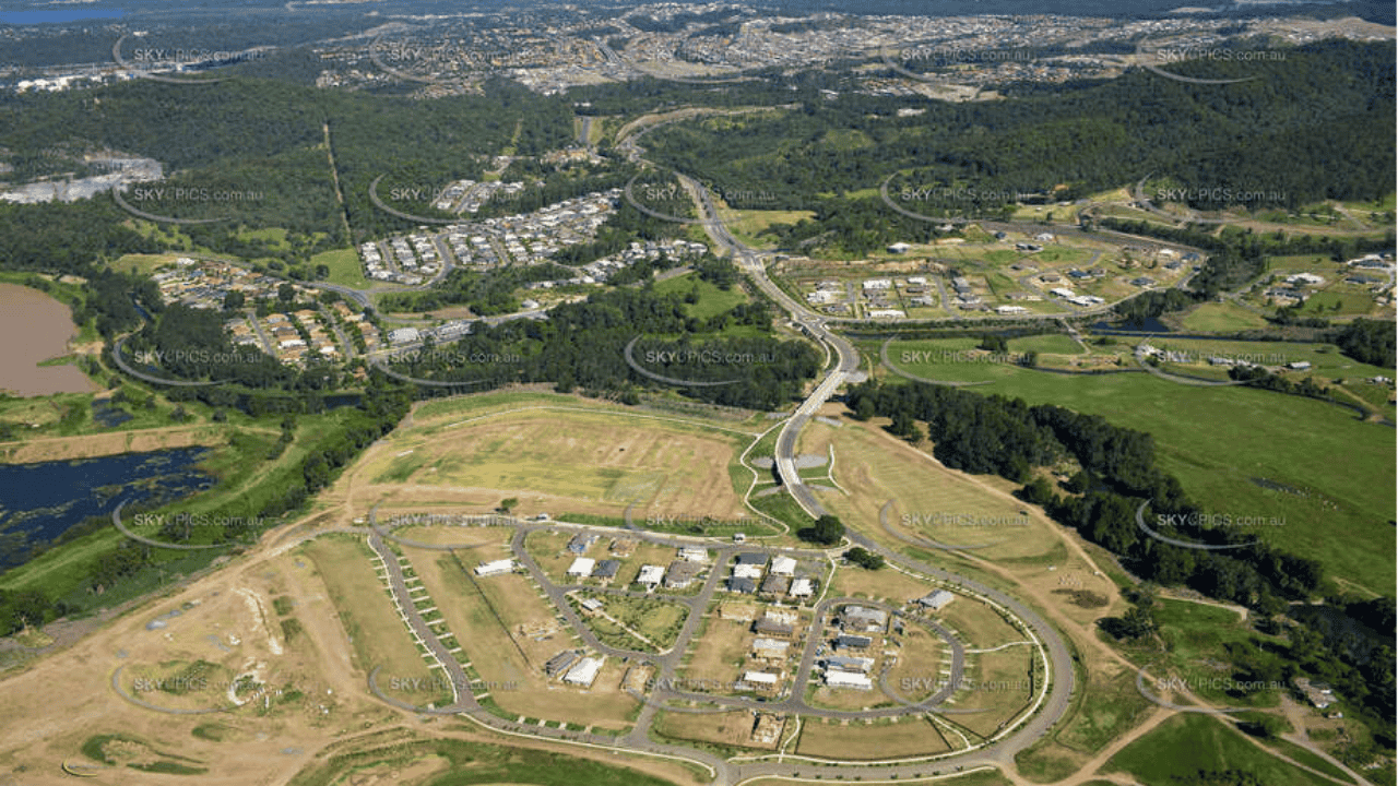
Aerial Photogrammetry
High-resolution imagery is essential for accurate topographic mapping and detailed 3D modeling, enhancing precision, visualization, and analysis across various industries, including civil engineering, architecture, and environmental studies.
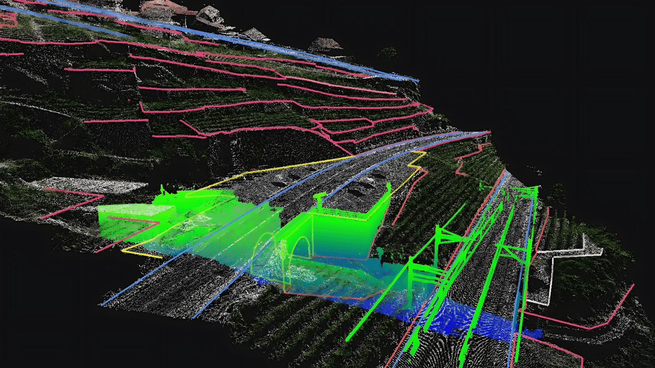
LiDAR Scanning
Precision 3D terrain mapping using LiDAR-equipped drones enables highly accurate and detailed surveys, providing valuable data for infrastructure development, environmental monitoring, flood risk assessment, and terrain analysis in remote or challenging locations.
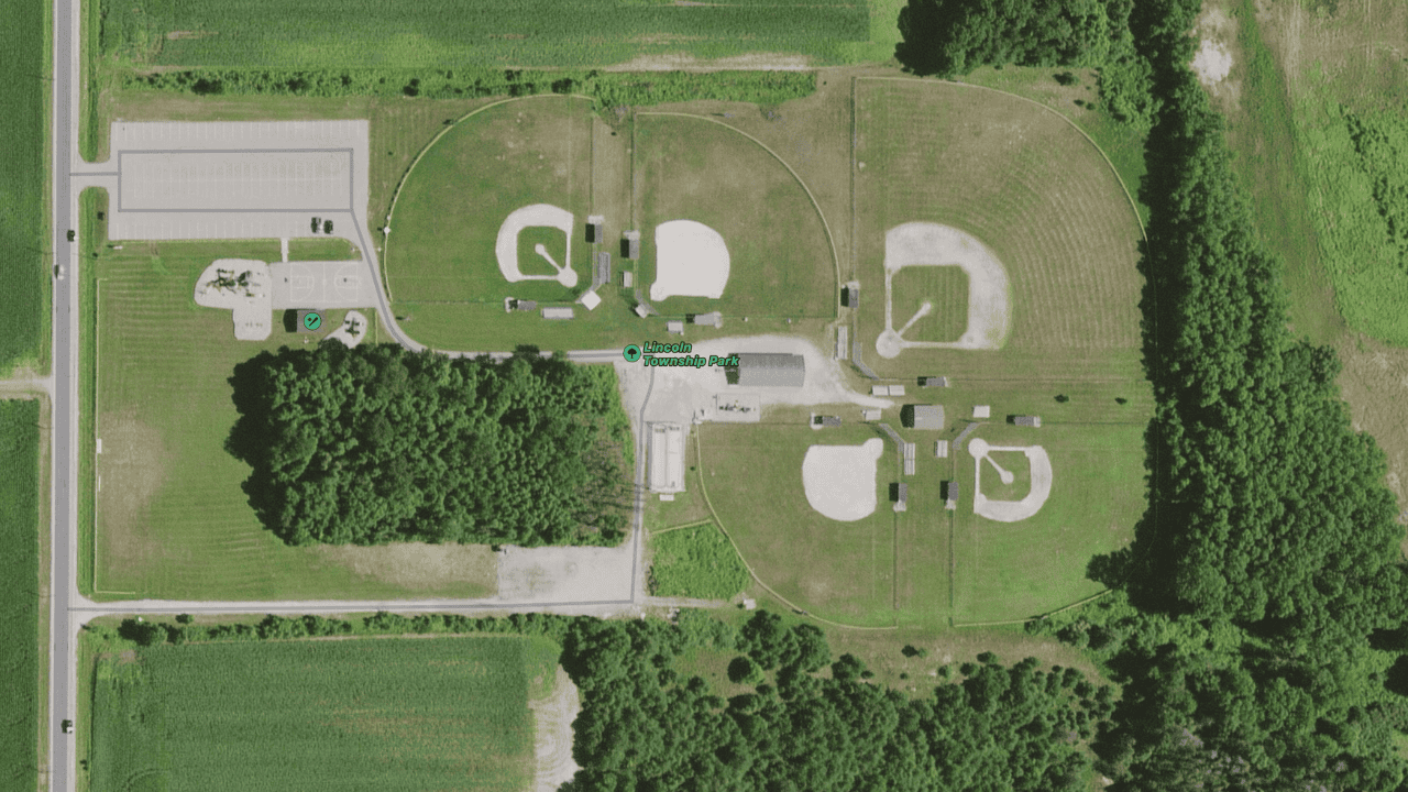
Orthomosaic Mapping
Stitching aerial images together allows for the creation of highly accurate and detailed maps, offering seamless visualization of large areas, supporting land surveying, urban planning, environmental management, and infrastructure development projects.
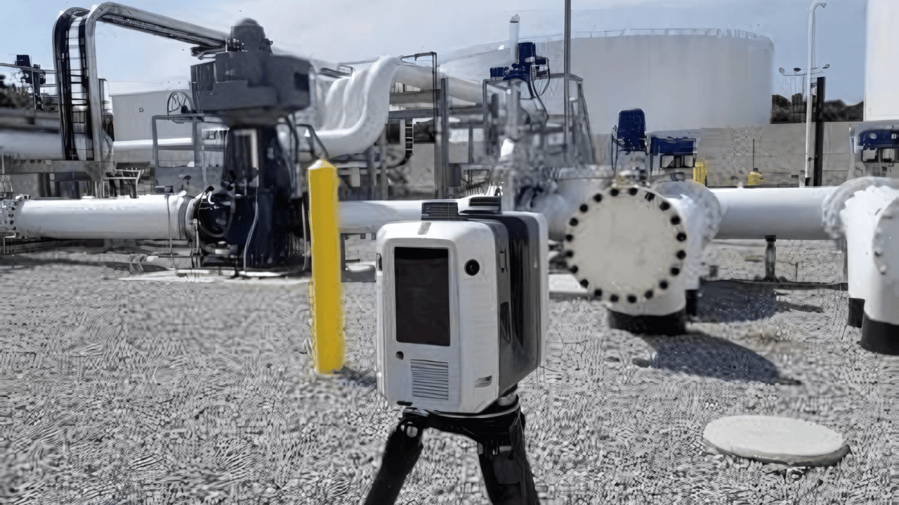
Laser Scanning Industry
The laser scanning industry uses advanced LiDAR technology to capture precise 3D measurements for construction, engineering, and architecture. It enhances accuracy, efficiency, and safety in complex projects, enabling detailed analysis and modeling.
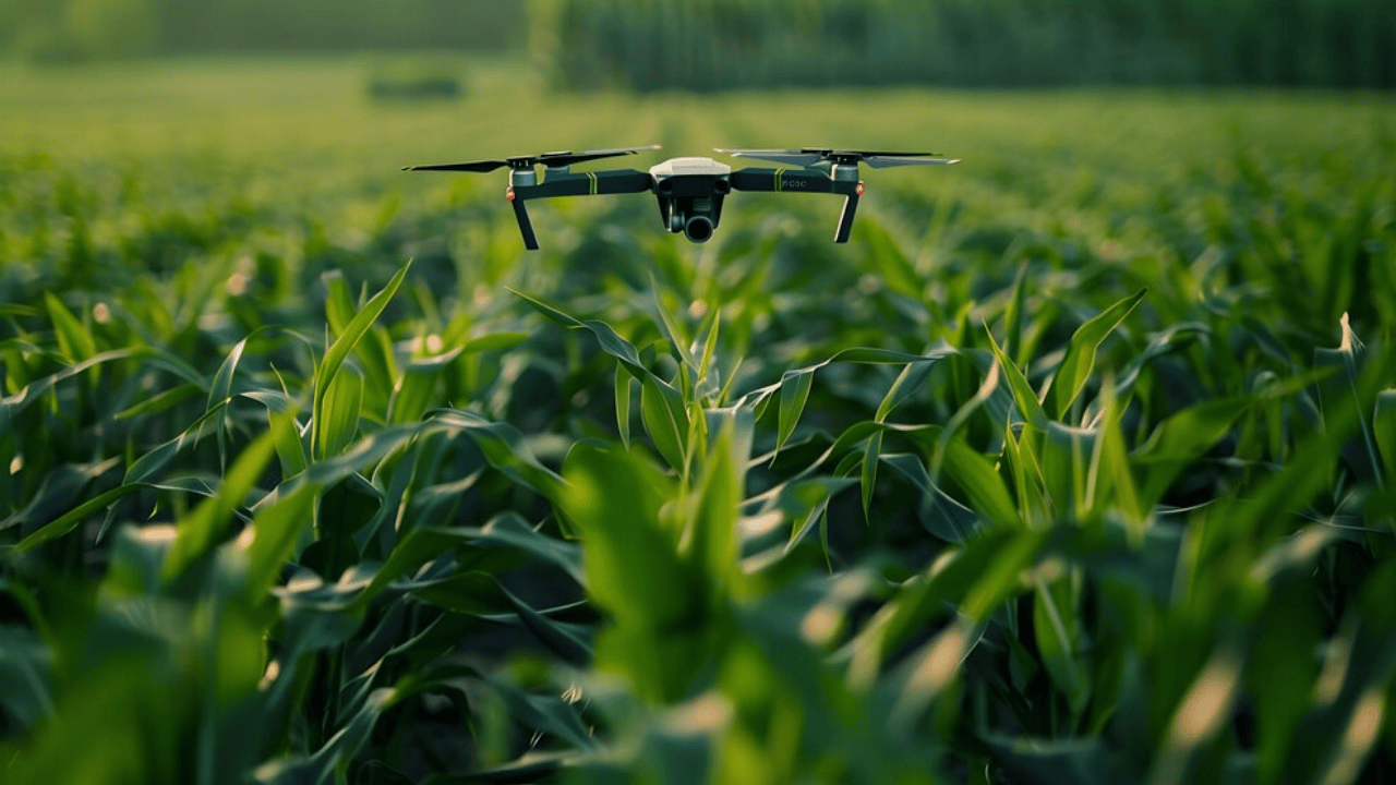
Precision Agriculture
Crop health monitoring, soil analysis, and water distribution mapping using drone-based sensors provide real-time data for optimizing irrigation, detecting nutrient deficiencies, and improving crop management, leading to higher yields and sustainable farming practices.
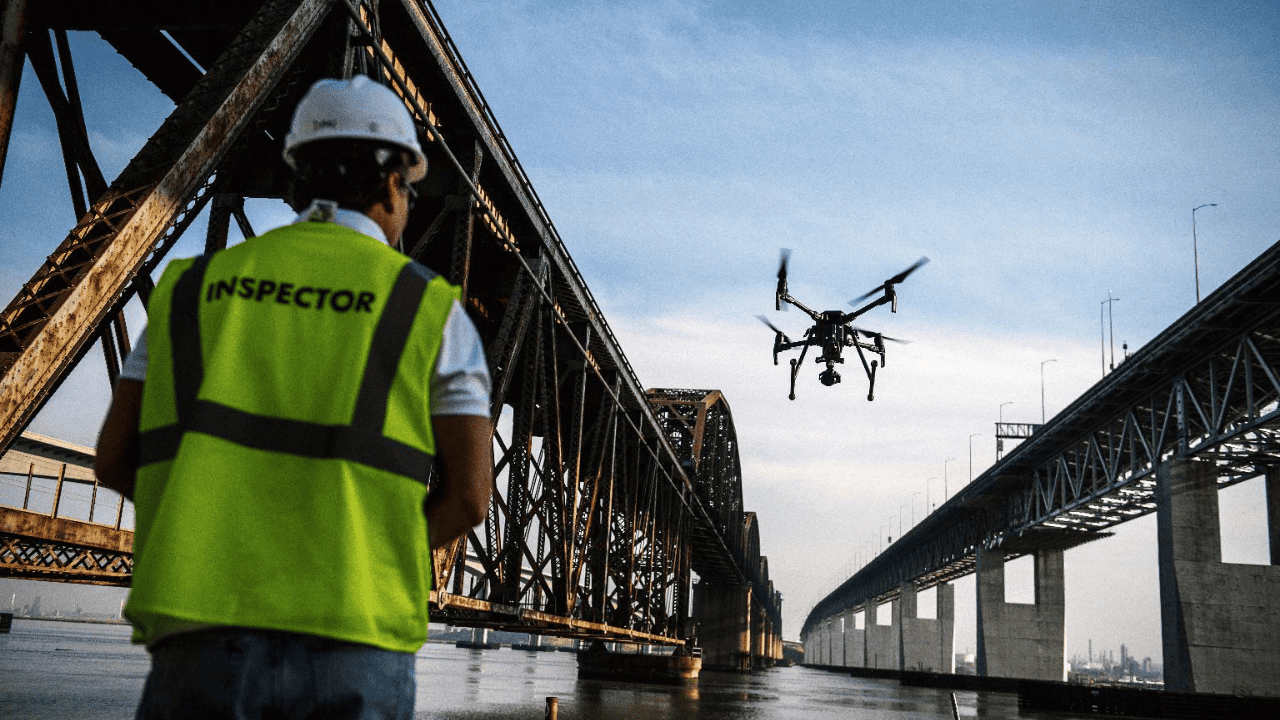
Inspection Services
Infrastructure inspection of bridges, roads, and towers, along with condition monitoring, utilizes advanced technologies like drones and sensors to detect structural issues early, ensure safety, reduce maintenance costs, and extend asset lifespan.
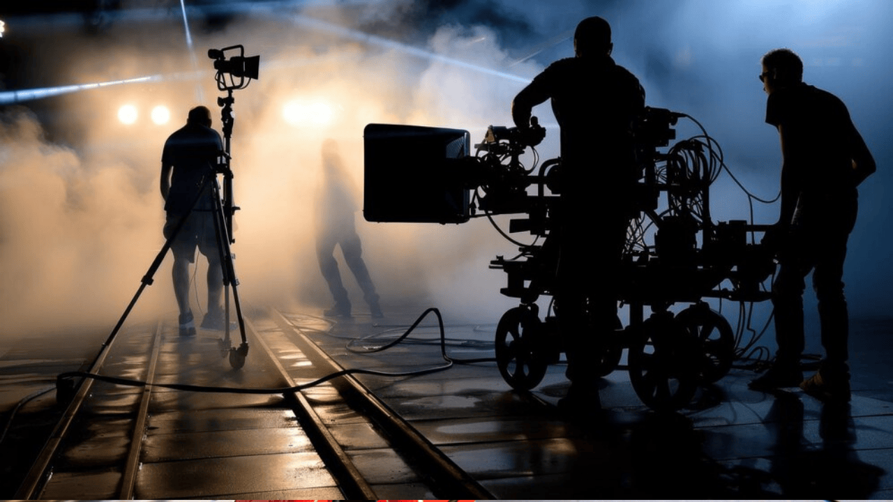
Movie Set Industry
In the Movie industry, 3D laser scanning is used to scan the complete Movie set and create digital 3D models of real-world objects for movies and computer games. These 3D scans will produce replica and textures of an entire movie set for costume effects, props creating, decoration, set construction elements, Visual effects (VFX), which are used for computer-generated imagery(CGI) without these 3D laser scanning techniques, animators can work for weeks on building an object from scratch in a digital modeling program.
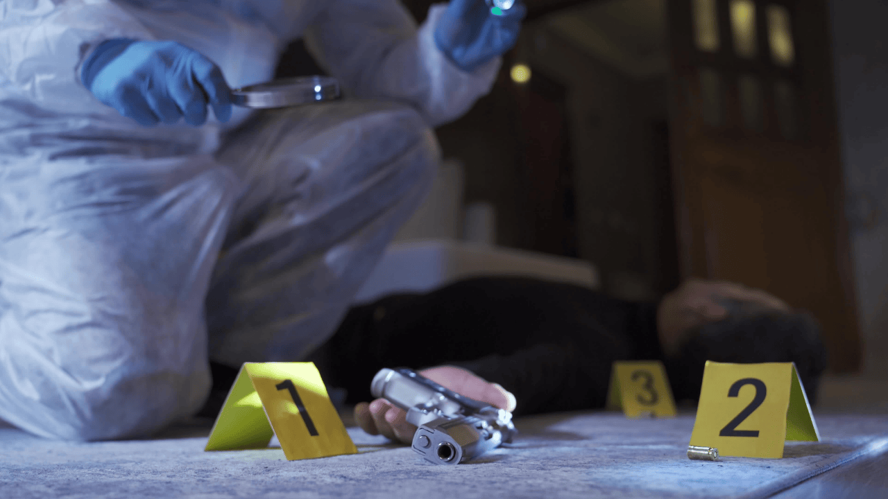
Forensic Industry
The forensic industry applies scientific methods to investigate crimes, providing crucial evidence for legal cases. It involves disciplines like DNA analysis, digital forensics, and crime scene investigation to ensure justice and accuracy in court.
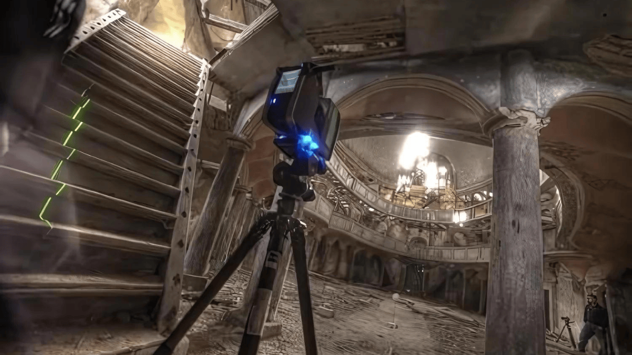
Heritage 3D scanning
Heritage 3D scanning is a new technology that makes it possible to capture the physical dimensions and as-built models of an existing Heritage building & monument for future use. Heritage 3D scanning provides important views of exterior details and hidden elements such as roof framing and plumbing infrastructure, which cannot be seen from ground level. This Heritage Building information modeling can be used for historic preservation and restoration planning, historical research, virtual travel, and marketing.

